
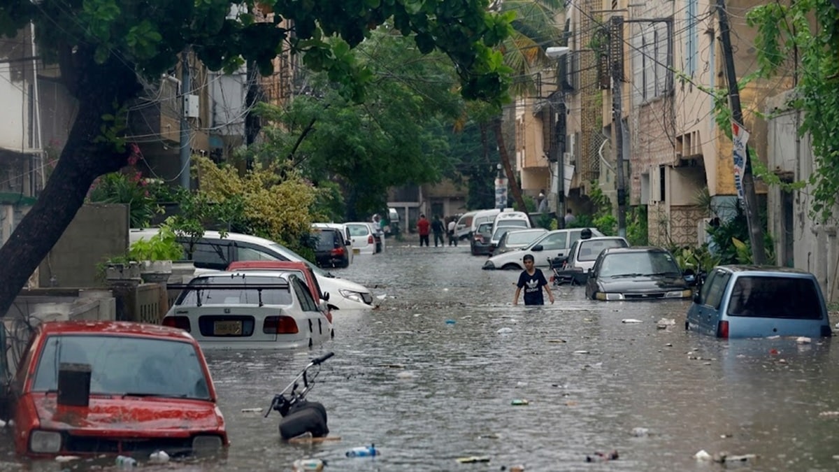
Blocked culverts, poorly planned infrastructure, overflowing drains, and unauthorized cuts worsened the recent flooding across parts of Lahore and Gujranwala divisions, according to an internal report by the Punjab Irrigation Department.
The report said heavy monsoon rains between July 25 and August 1 inundated almost 2,729 square kilometers, including around 1,449 square kilometers between July 25 and 27.
The Gujranwala irrigation zone. It also covers parts of Sheikhupura district, recorded average monsoon rainfall of 579mm, compared with its normal average of 240mm.
As the report notes, heavy rainfall generated flood flows beyond the design capacity of several nullahs and drains, causing overtopping, breaches, and widespread flooding in urban and rural areas.
What happened
The Dek Diversion Channel recorded a peak discharge of 50,350 cusecs, well above its designed capacity of 35,200 cusecs. A total of 99 drains overflowed at 131 vulnerable locations, resulting in breaches and unauthorized cuts.
The report identified poorly planned development along nullahs and drains as another major reason for the flooding, saying such construction had obstructed natural waterways.
It noted that hundreds of culverts were built beneath roads and railway lines during the British colonial period to allow rainwater to drain naturally. However, numerous were later sealed as urban areas expanded and populations climbed.
The report also stated local residents made unauthorized cuts at a number of locations to divert accumulated rainwater into drains that were already carrying water beyond their capacity.
The details
Sheikhupura Deputy Commissioner Rana Adeel Tassawur endorsed the findings, saying these cuts contributed to the flooding of large rural and semi-urban areas in Ferozwala and Muridke.
He also blamed poorly planned urban development and the closure of old culverts for delaying the drainage of rainwater.
According to the deputy commissioner, some culverts beneath motorways and railway infrastructure had been closed by local residents, including farmers, forcing authorities to reopen them.
He said floodwater had almost reached the level of the Lahore-Sialkot Motorway at some locations as of blocked drainage routes.
Why it matters
Tassawur said he had proposed the construction of embankments to protect low-lying areas, particularly Pathan Colony and other vulnerable locations in Ferozwala tehsil.
The Irrigation Department said a comprehensive study would be needed to identify long-term measures for managing flood flows through nullahs and the drainage network. It also proposed converting existing drainage systems into seepage-cum-stormwater drains.
Stay Connected with ProPakistani
Get the latest news and stories wherever you prefer.
Related stories

Fear and disruption for Ukraine's rail passengers as Russia escalates drone attacks
ByPaul Adams diplomatic correspondent, Reporting fromin Kyiv.
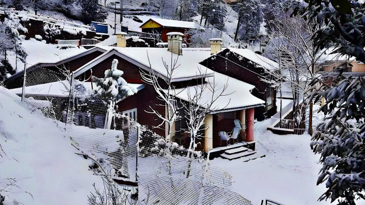
Rain, Snowfall Lower Temperatures in Azad Kashmir
Light rain and light snowfall on high mountain peaks have triggered a cold wave in upper parts of Azad Kashmir.
Nobel medicine prize goes to 3 scientists for shining light on brain…
Attention has turned to nobel medicine prize goes to 3 scientists for shining light on brain, a development that is being followed closely by…
Russian attack kills 6 in Ukraine’s Kharkiv, shatters residences
Attention has turned to russian attack kills 6 in Ukraines Kharkiv, shatters residences, a development that is being followed closely by readers who track…